Bits Of Data uses cookies to improve your user-experience. By clicking the ‘I agree’ button or by using our website you consent to the use of cookies. Find out more about cookies and how you can manage and delete them, by reading our Cookies Policy
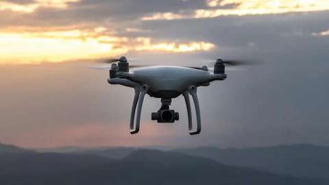
Drones are a cost efficient and accurate source of data. They can provide info about infrastructure, construction sites, 3D features, etc.
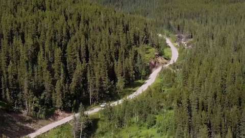
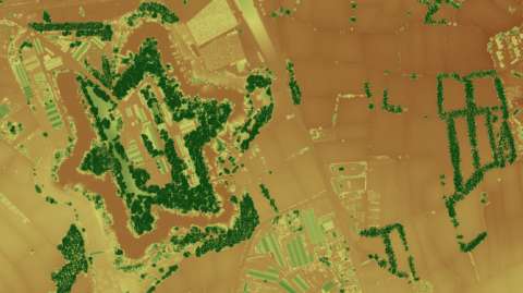
Remote sensed data is a valuable source to understand the environment. Providing details about vegetation, land cover, land changes, etc.
3D GIS data can be used for spatial analysis in many different areas, such as 3D city modeling, terrain visualization, industrial design, et
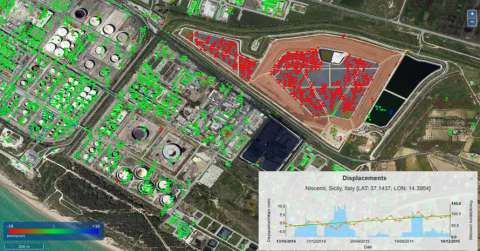
Automatic cloud-based geoinformation service platform for territorial monitoring