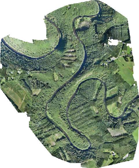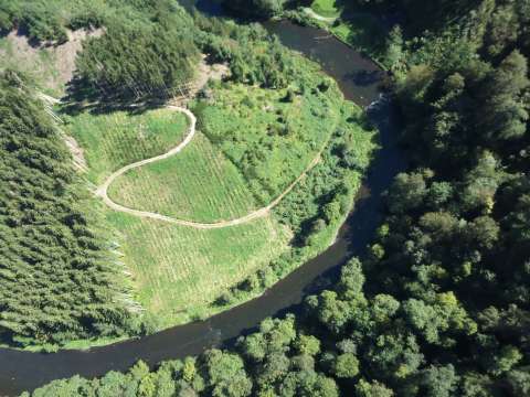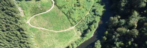
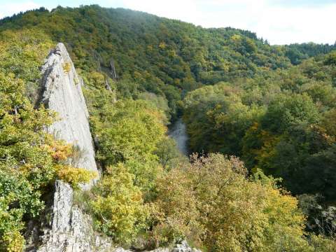
Le Hérou is a savage piece of nature, surrounded by the Ourthe, with small paths and peaks. Le Hérou is located in the small village of Nadrin, close to Houffalize. A vast amount of parcels in this area is managed by the Les Ondes, a holiday residence for business retreats.
In order to control the activities on their property and to get a clear view of the current situation of the parcels, a drone flight was executed.
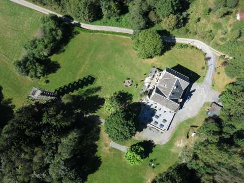
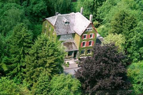
Residence “Les Ondes” (2000 m²) has recently been tastefully renovated and refurbished with all the latest comforts. The house has kept its authentic character and can accommodate up to 25 people
Hilly terrain makes mapping difficult
A total area of 2,5 km², situated around the Ourthe had to be covered. The terrain ranged in height from 250m till 350m. Steep rocks and dense forest limit the accessibility of the terrain.
Flight
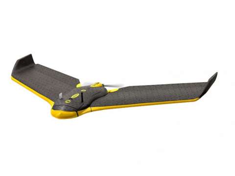
The flight was executed using a fixed wing system, in this case a Sensefly eBee. The eBee is a light professional drone with the possibility to execute fully automated flights. It is ultra light, resulting in flight times over 20 minutes.
Equiped with a high resolution camera, the total area was covered with 5 flights, totaling over 2000 images. Because of the hilly terrain multiple take-off areas were needed.
Detailed orthomosaic
Processing of the drone images, combined with measured ground control points resulted in a detailed ortho image of the area. A ground sampling distance (resolution) of 3 cm was achieved with an horizontal accuracy of ca. 8 cm. A 3D representation of the area gives a nice overview of the touristic zone.