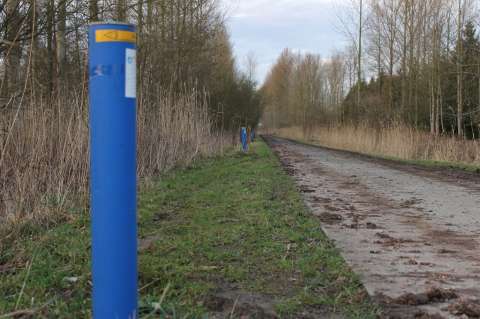
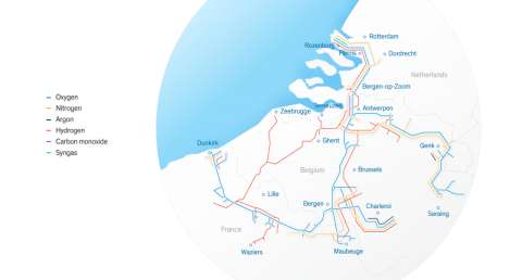
Air Liquide Benelux Industries (ALBI) owns and operates in the Benelux a pipeline network for industrial gases with a total length of 2225km, situated on approximately 1600km of pipeline trace. To protect the integrity of the pipeline, the construction of structures and the presence of trees are forbidden in the reserved zone around the transportation pipeline by law and by internal Air Liquide rules.
The goal of the project is to update the inventory of the RoW with sufficient level of detail. The inventory needs to show all trees and structures on a GIS layer.
The inventory of the Right-Of-Way (RoW) is generated as a land cover classification with a specific legend. The classification is based on an object-based classification combining aerial images, a digital elevation model, and supporting topographic information.
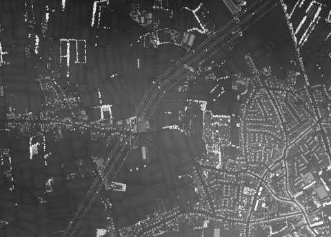
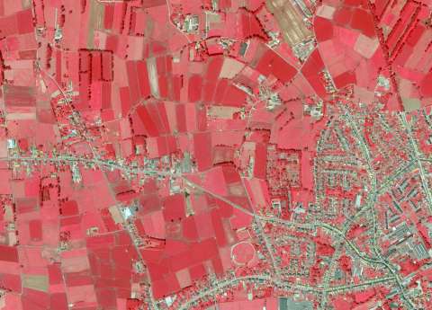
The classification is performed in a multi-step approach, translated in a custom classificaton tree, specifically designed for this project. The main source of information is the aerial infrared image, where the height information (derived from LiDAR data) is applied to separate high from low vegetation.
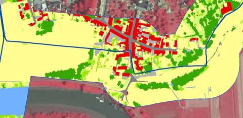
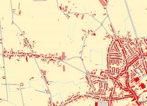
The classification results in a detailed representation of structures and vegetation in the vicinity of the pipeline. An additional GIS-analysis is performed to evaluate the exact location with regards to the pipeline, the accessibility of the trees to be cut, etc. Also additional potential impacts on the pipeline, being water courses, roads, and railroads, are identified.