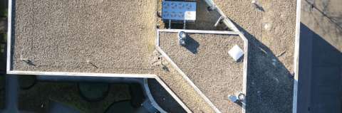
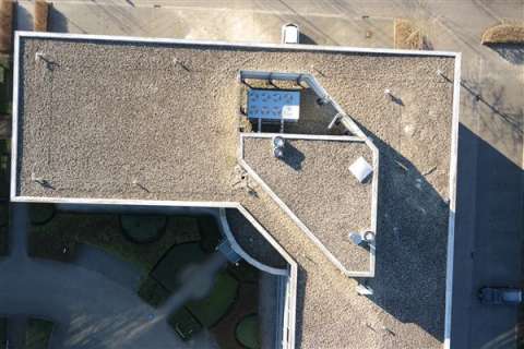
The Cronos HQ in Kontich has been mapped using a multicopter drone. A low flight altitude and a high resolution camera resulted in an extremely detailed 3D pointcloud, textured 3D model, and ortho image.
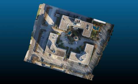
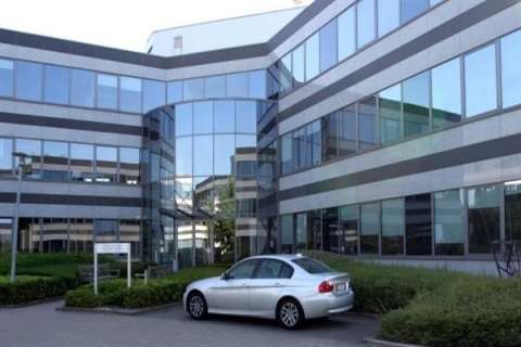
The Cronos HQ in Kontich has been mapped using a multicopter drone. A low flight altitude and a high resolution camera resulted in an extremely detailed 3D pointcloud, textured 3D model, and ortho image.