Commisioned by the National Geographic Institute (NGI) and Defence, an analysis of the obstacle limitation surface (OLS) above the airbase of Koksijde has been performed.
The aerodrome operator is to ensure that objects are not located within the Obstacle Restriction Area of the aerodrome. The objectives of the OLS are to define the airspace around aerodromes to be maintained free of obstacles so as to permit the intended aeroplane operations at the aerodromes to be conducted safely.
Every 5 years the airfield needs to identify all natural and artificial objects that intersect the obstacle limitation surface.
Obstacle detection with UAV-data
Traditionally, obstacle detection is performed through terrain measurements or the interpretation of traditional aerial images. Both methods are extremely labor-intensive and the measurement / processing takes multiple months.
Data collection with UAVs is considerably less expensive, moreover data collected by drones has a very short processing chain whereby the time span between flight and result delivery is shortened to a few weeks.
Flight
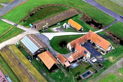
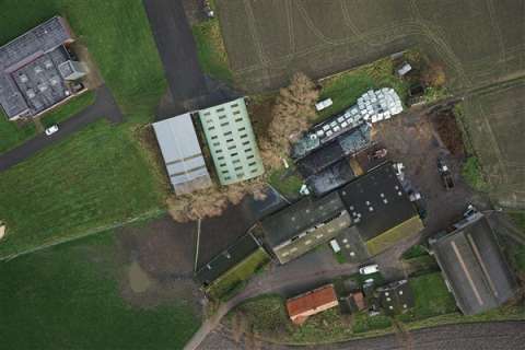
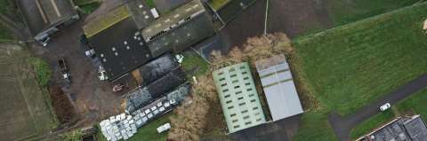
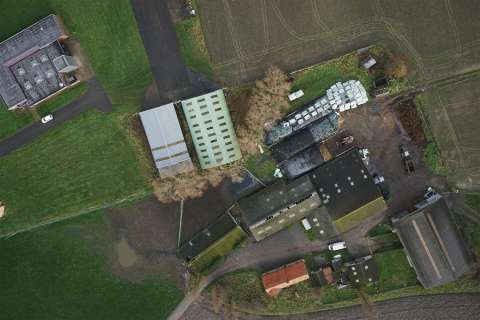
The complete airbase included adjoining terrain (in total 7,7 km²) was covered by a multicopter equipped with a 24 MP camera. In total more than 4000 images were acquired with an image resolution of ca. 3 cm. This shows that the use of drones is no longer limited to small areas (in the magnitude of a couple of hectares), but that it is also a suitable solution for larger areas.
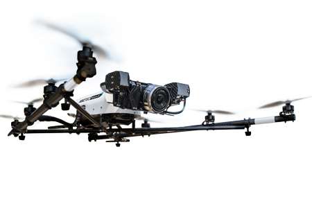
Image processing
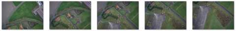
The processing of raw image data is performed in different steps: relative orientation of images (based on GPS and point matches)
- georeferencing: integration of collected ground points
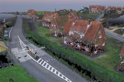
- creation of dense pointcloud based on point-matching
- derivation of height model (DSM) based on the created dense pointcloud
- creation of (true) orthomosaic
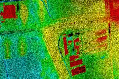
Detection of obstacles
The detection of obstacles is performed by comparison of the points in the dense 3D pointcloud with the height defined by the obstacle limitation surface. In a next phase the detected points are visually interpreted and divided into pre-defined classes (vegetation, building, ...).